
Don't have a full day to get out of the city? On a budget and have an unlimited Metro Card (or bike)? We talked to Justin Bailey of the Outdoor Ethos to find out the best places to go hiking within the five boroughs.
Queens: Alley Pond Park
Home to the “Queens Giant” – the tallest and oldest living thing in New York City. Alley pond is a beautiful 655 acre park on the outskirts of eastern Queens. Alley Pond contains almost 10 miles of unpaved hiking trails, a nature center, bird sanctuary, adventure course, ball fields and designated bike paths.

Map by NYC Parks & Rec
How to get there: Take the QM5 Bus from 57 St. & Madison Ave in Manhattan to the 73 Ave/220 St. stop in Queens. - The entrance to the park is about 1 block east on 73rd Ave. Check out this Google Map from Midtown.
Brooklyn: Floyd Bennet Field
This was once NYC’s first municipal airport it’s now part of Gateway National Recreation Area. You can stop by the visitor’s center and museum to get an idea of the amazing history behind the park, as well as hike and bike on the trails. This is also one of the only place in NYC where you can camp overnight.

Map by the National Park Service
How to get there: Take the [2, 5] Trains to Flatbush Ave. Station, walk 1 block south on Flatbush Ave. to catch the Q35 Bus south getting off at the Flatbush Ave. & Opp Ryan Visitor Center Stop. The visitor’s center and entrance to the park will be across the street from the bus stop.
Manhattan: Inwood Hill Park
This park is the largest remaining piece of forest land on the island of Manhattan. At only 164 acres this park is small by comparison to Central Park, but makes up for it by offering tightly packed trails that snake up and down hills which can make for a challenging urban hike.

Map by NYC Parks & Rec
How to get there: Take the [A] Train to Dyckman Street Subway Station – The entrance to the park will be block west on Dyckman St.
Staten Island: SI Greenbelt
This is one of the most biologically diverse places in NYC covering about 2,800 acres of Staten Island. The Greenbelt has over 35 miles of trails, offers free guided hikes on Wednesday nights, and is three times the size of Central Park. Here are three reasons we love the Greenbelt.

Map by the Staten Island Greenbelt Conservancy
How to get there: Take the X10 Bus from Broadway/Vesey Street to Narrows Rd N/Richmond Rd then walk under the overpass to pick up the S74 Bus to Richmond Rd / St Patricks Place – The entrance to the park will be a few hundred feet north on Arthur Kill Rd on your left.
Bronx: Van Cortlandt Park
This is the third largest park in NYC. It has a pool, museum, the most heavily used cross country running track in the US, and miles of hilly trails for hiking. If you’re adventurous you may even been able to find the waterfall and the Croton Aqueduct Weir Chamber (extra credit: follow the Old Croton Aqueduct Trail from Van Cortlandt to Westchester.)

Map by Friends of Van Cortlandt Park
How to get there: Take the [1] train to 242nd Street. The entrance to the park will be just downstairs from the train platform.
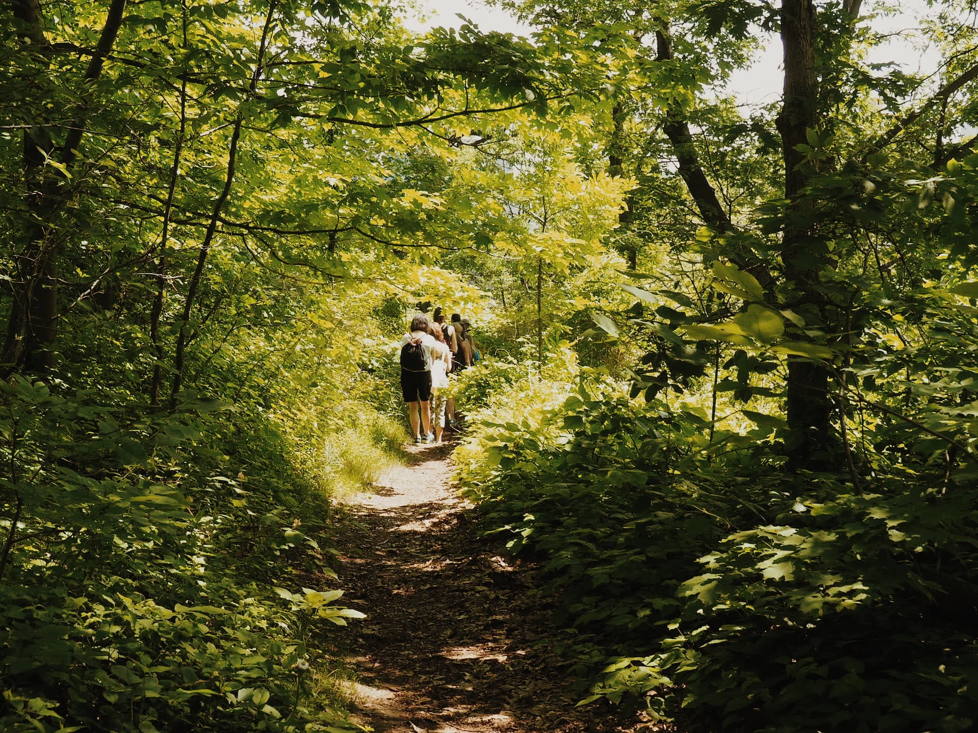
Need more ideas on where to adventure? Check out our Get Outside Guide. Header photo by VivPVentures.